Index of all map groups
Part I. — Bible Lands
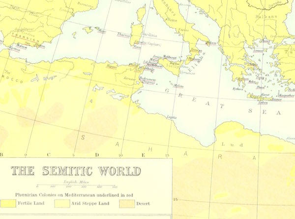
1. The Semitic World.
1 MB
JPG
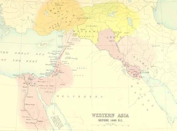
2. Western Asia Before 1400 B.C.
1 MB
JPG
3-4. Empires of the Ancient World.
1 MB
JPG
JPG
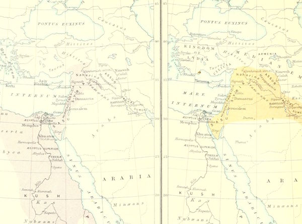
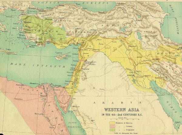
5. Western Asia In The Fourth To Second Centuries B.C.
0.25 MB
JPG
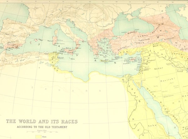
6. The World And Its Races According To The Old Testament.
1 MB
JPG
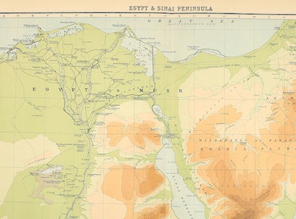
7-8. Egypt And Sinai Peninsula.
2 MB
JPG
Part II. — General Maps of Palestine
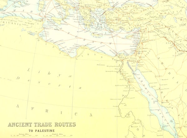
9. Ancient Trade Routes To Palestine.
1 MB
JPG
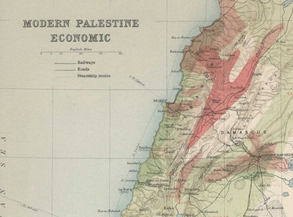
10. Economic Map of Modern Palestine.
5 MB
JPG
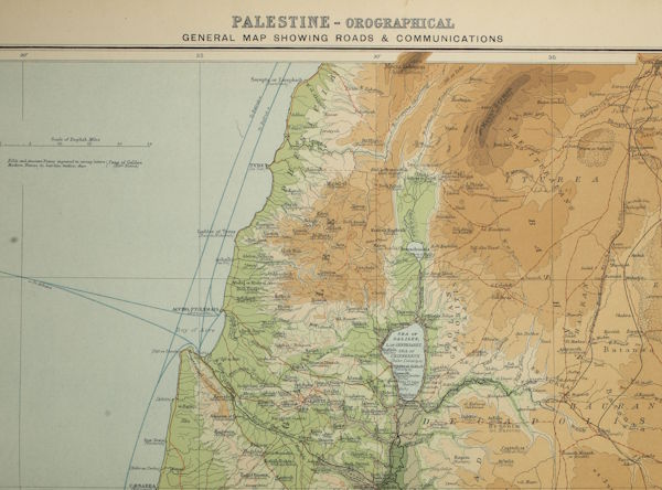
11-12. General Orographical Map of Palestine With Roads and Communications.
17 MB
JPG
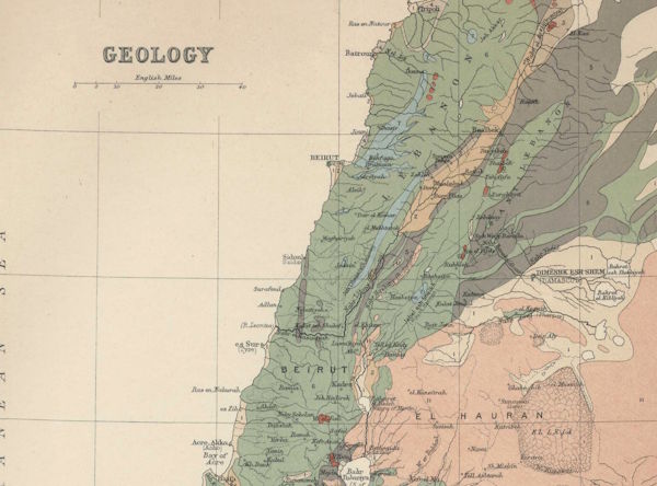
13. Geology of Palestine.
5 MB
JPG
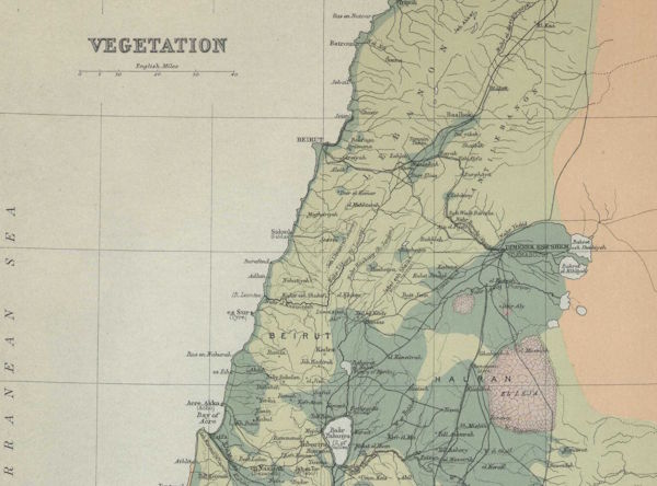
14. Vegetation of Palestine.
4 MB
JPG
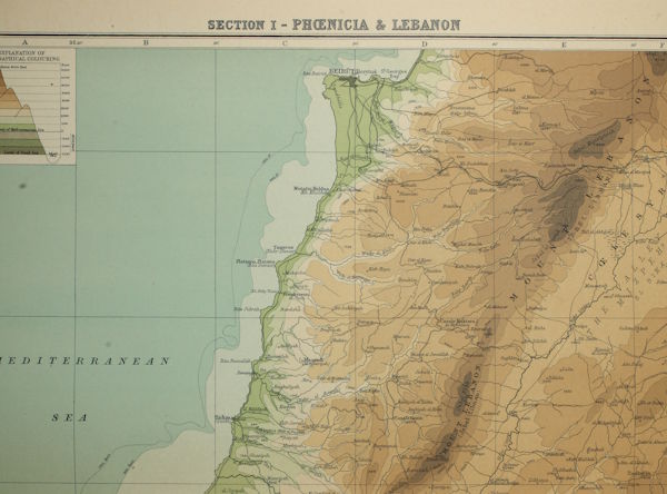
15-16. Section I. Phoenicia and Lebanon.
15 MB
JPG
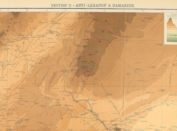
17-18. Section II. Anti-Lebanon and Damascus.
1 MB
JPG
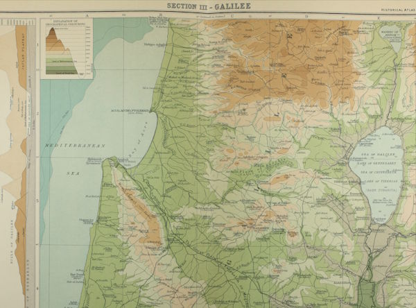
19-20. Section III. Galilee.
16 MB
JPG
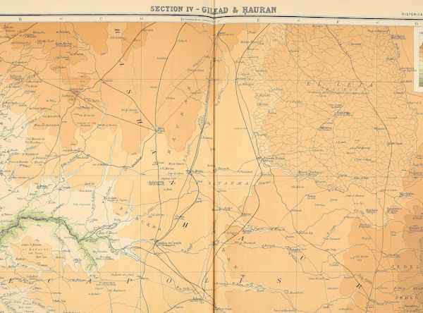
21-22. Section IV. Gilead and Hauran.
2 MB
JPG
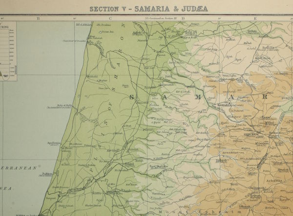
23-24. Section V. Samaria and Judaea.
16 MB
JPG
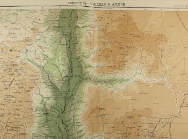
25-26. Section VI. South Gilead and Ammon.
16 MB
JPG
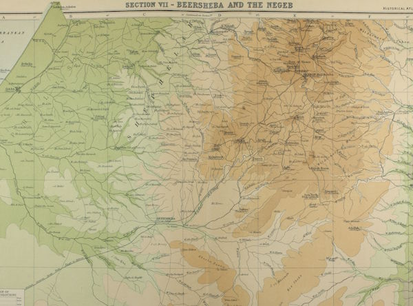
27-28. Section VII. Beersheba and The Negeb.
14 MB
JPG
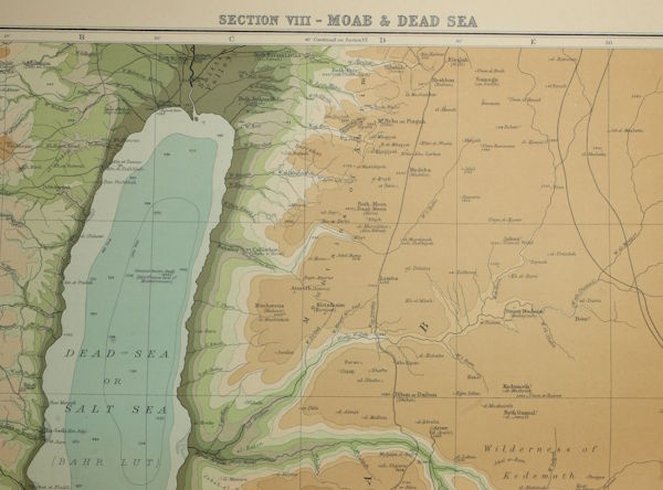
29-30. Section VIII. Moab and Dead Sea.
15 MB
JPG
Part III. — Palestine at Particular Periods in History of Israel
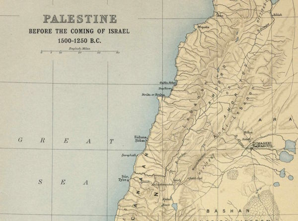
31. Palestine Before The Coming of Israel.
5 MB
JPG
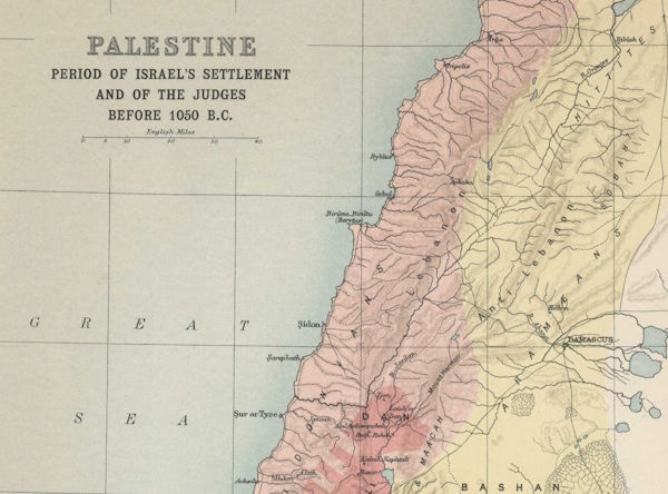
32. Period of Israel's Settlement and of The Judges.
4 MB
JPG
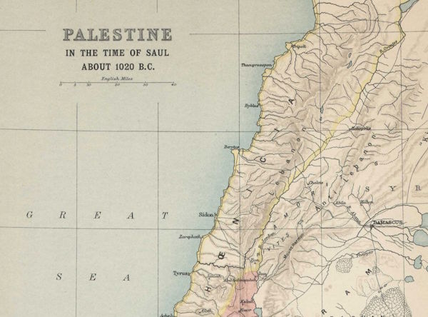
33. Palestine In The Time of Saul.
5 MB
JPG
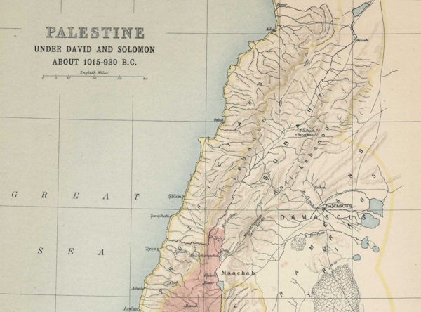
34. Palestine Under David and Solomon.
5 MB
JPG
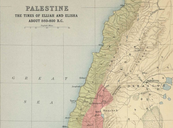
35. Palestine In The Times of Elijah and Elisha.
5 MB
JPG
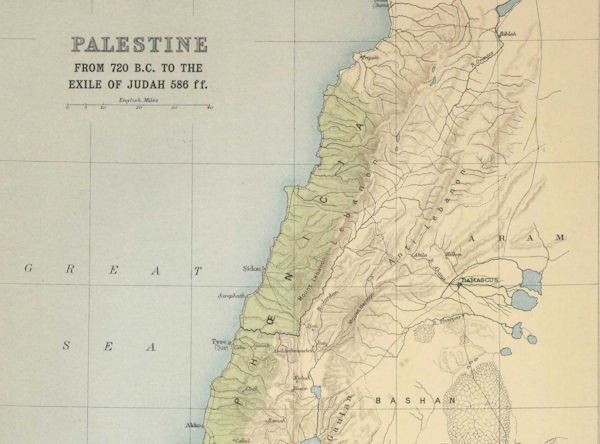
36. Palestine From 720 B.C. To Exile of Judah.
5 MB
JPG
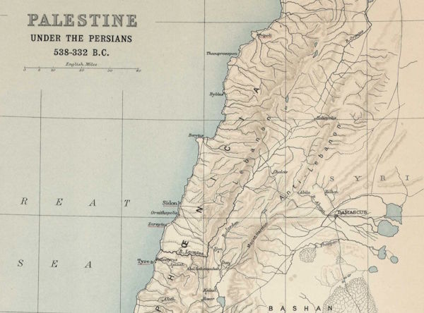
37. Palestine Under The Persians.
5 MB
JPG
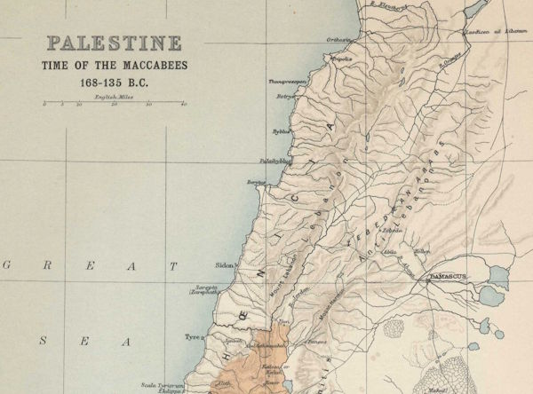
38. Palestine In The Time of The Maccabees.
4 MB
JPG
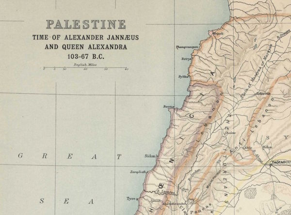
39. Palestine In The Time of Alexander Jannaeeus and Queen Alexandra.
5 MB
JPG
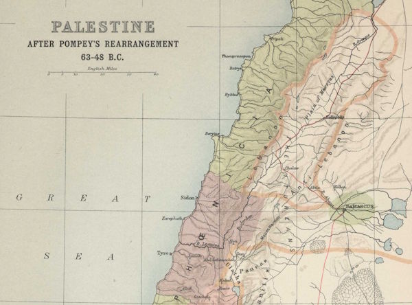
40. Palestine After Pompey's Rearrangement.
4 MB
JPG
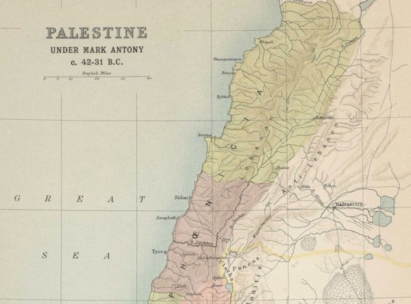
41. Palestine Under Mark Antony.
5 MB
JPG
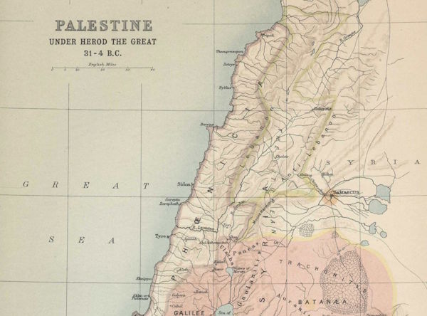
42. Palestine Under Herod The Great.
6 MB
JPG
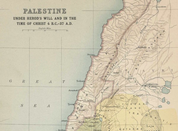
43. Palestine Under Herod's Will and In The Time of Christ.
5 MB
JPG
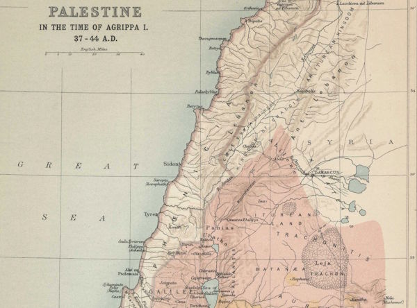
44. Palestine In Time of Agrippa I.
6 MB
JPG
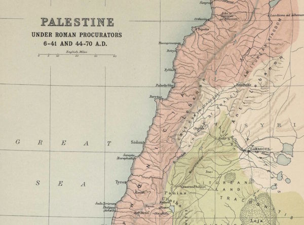
45. Palestine Under Roman Procurators.
5 MB
JPG
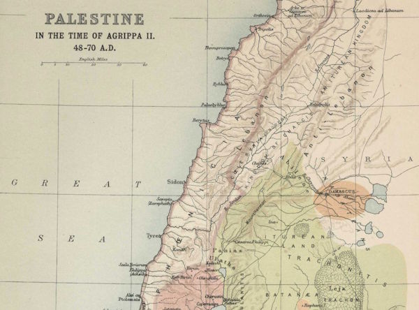
46. Palestine In Time of Agrippa II.
5 MB
JPG
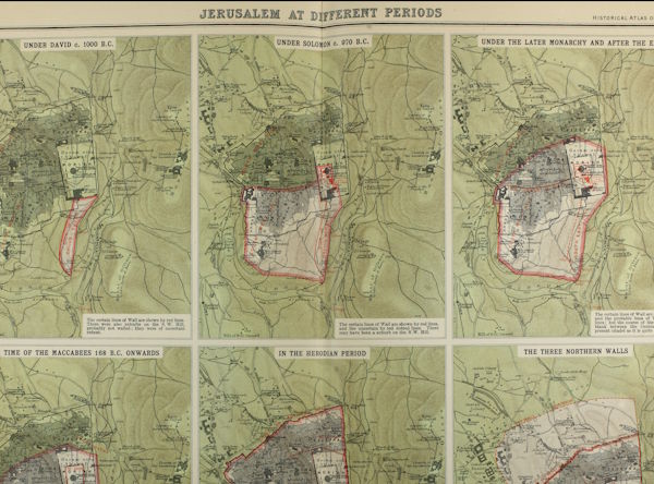
47-48. Plans of Jerusalem At Various Periods.
19 MB
JPG
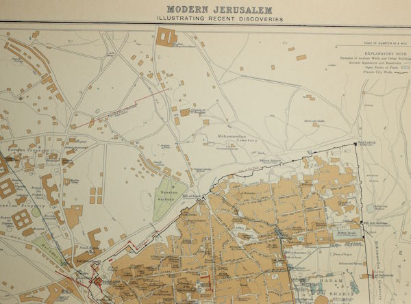
49-50. Plan of Modern Jerusalem.
14 MB
JPG
JPG
Part IV. — The Christian Era
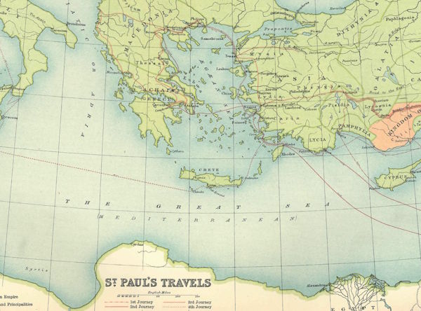
51. Eastern Mediterranean To Illustrate St. Paul's Travels.
1 MB
JPG
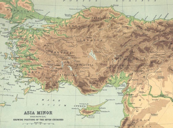
52. Asia Minor Showing Positions of The Seven Churches.
1 MB
JPG
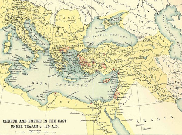
53. The Church and Empire In The East Under Trajan.
1 MB
JPG
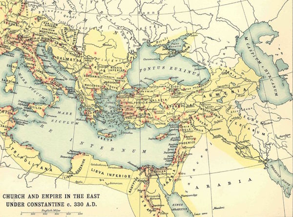
53a. The Church and Empire In The East Under Constantine.
1 MB
JPG
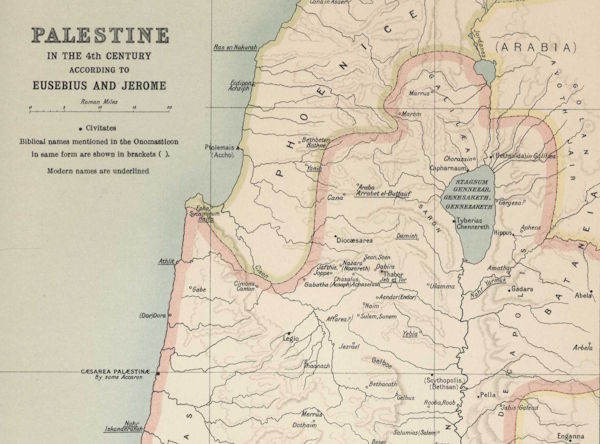
54. Palestine In The Fourth Century, According To Eusebius and Jerome.
4 MB
JPG
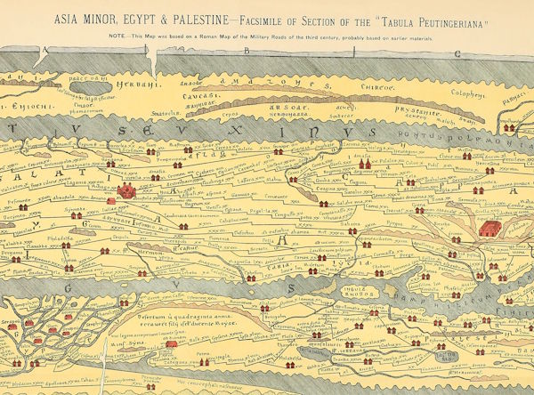
55. Palestine After The Peutinger Tables & 56. Palestine After Marinus Sanutus.
2 MB
JPG
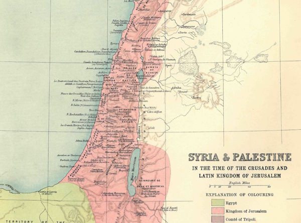
57. Syria and Palestine In The Time of The Crusades.
1 MB
JPG
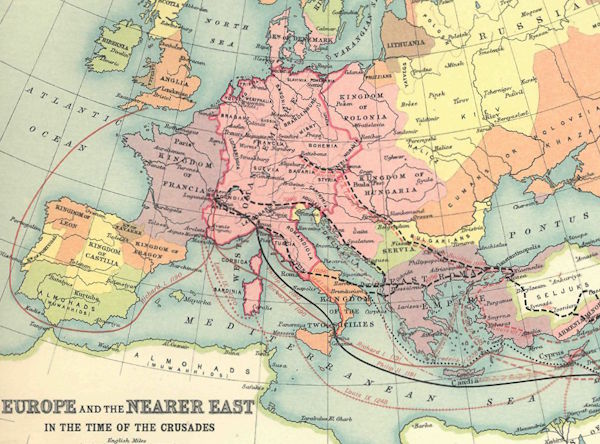
58. Europe In The Time of The Crusades.
1 MB
JPG
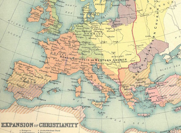
58a. The Expansion of Christianity.
1 MB
JPG
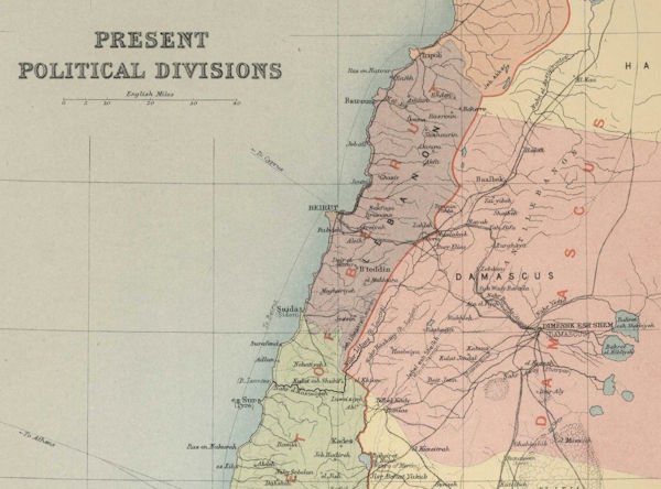
59. Present Political Divisions of Palestine.
6 MB
JPG
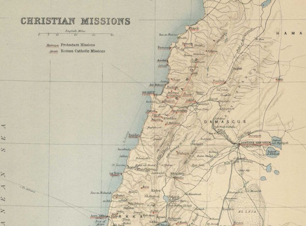
60. Christian Missions In Palestine.
5 MB
JPG
References
Internet Archive
Index of all map groups