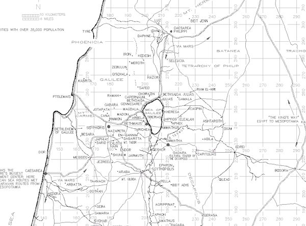
¶ Introduction
¶ Maps
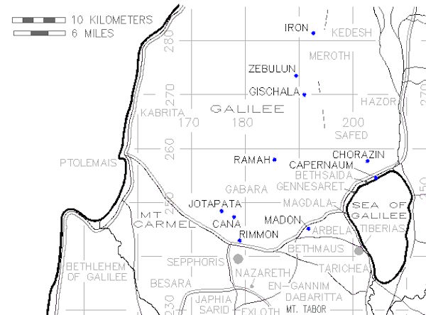
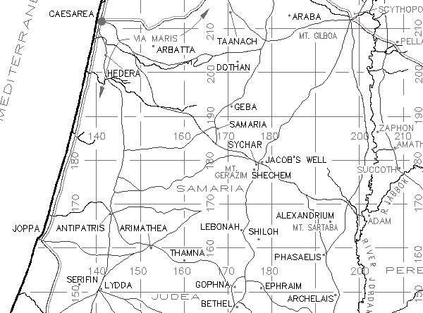
Cities of Jesus' First Preaching Tour
The Urantia Book, Paper 146 January 18 through March 17, A.D. 28
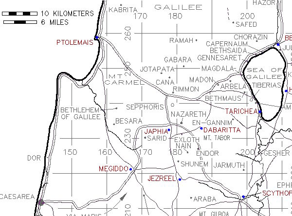
Cities of Jesus' Second Galilee Preaching Tour
The Urantia Book, Paper 149, October 3 through December 30, A.D. 28
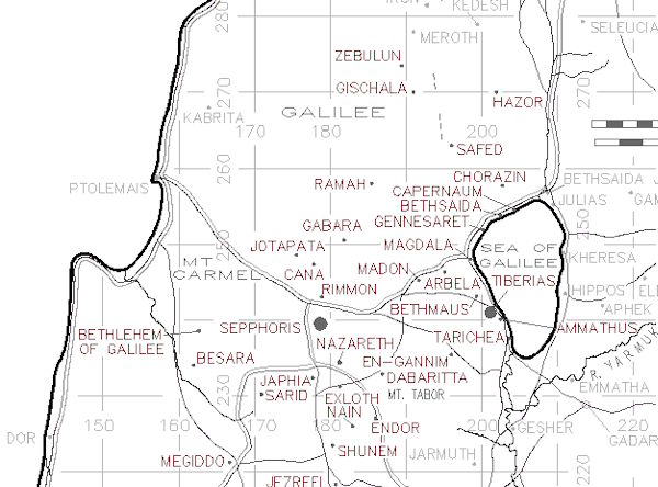
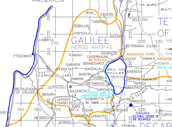
Cities of Jesus' Third Galilee Preaching Tour
The Urantia Book, Paper 150, January 16 through March 10, A.D. 29
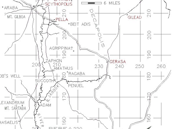
Jesus' Evangelism: The Decapolis Tour
The Urantia Book, Paper 159, August 18 through September 16, A.D. 29
Jesus' Evangelism: Galilee, Judea, Samaria
The Urantia Book, Paper 163. The Mission of the Seventy, November 19 through December 30, A.D. 29
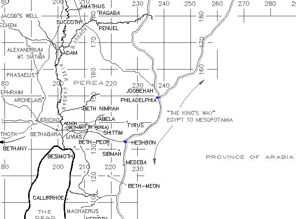
Jesus' Evangelism: The Perean Mission
Urantia Book Papers 165 through 170, January 3 through March 15, A.D. 30
¶ Other articles
- First Century Palestine: Index of Villages, Towns, and Cities
- Palestine Topographical Maps
- Roman Political Rule and the Life of Jesus
- Israel Seismic Activity Since The Times Of Jesus